







Austria: Vienna to Salzburg
Imperial Vienna, the Danube valley at Dürnstein and Melk, the lake of Hallstatt, the ice caves of Werfen and Salzburg.
- 12 stops
- 454 km by road
- 6 h 32 min of driving
- 5 days
Distances and times are calculated on real roads (OpenStreetMap), with no stops and no traffic.
The route goes into the planner with its stops, split over days: move, remove or add stops, see the times and look for a place to stay. Or open the whole route in Google Maps.
The stops, in order
Open in Google MapsBefore you set off
A car for this route
Hire the car where you arrive, at the airport or in the first city, and check that it can be returned where the route ends.
- Car hire Pick up a car in Vienna and see the towns and coast around it at your own pace. On Localrent
- Airport transfer A driver meets you at arrivals and takes you to your door in Vienna, at a price fixed in advance. On Welcome Pickups
- eSIM for Austria Mobile data from the moment you land, with no roaming bill. Installed on your phone before you leave. On Airalo
These services are sold by our partners: you book and pay on their sites. Viaqui may earn a commission, at no extra cost to you.
About the route
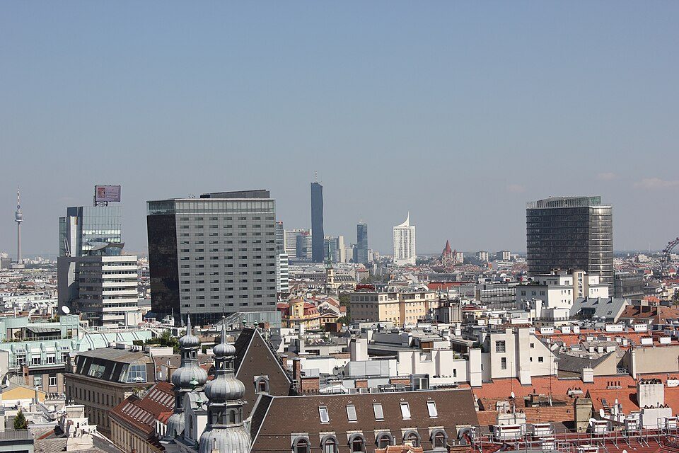
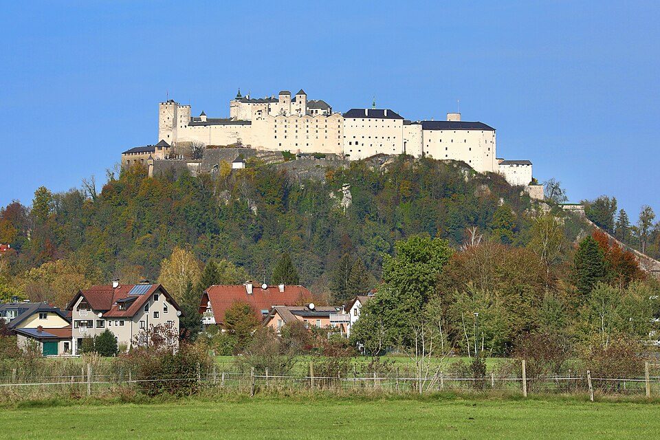
From the capital of the Habsburgs west to the city of the prince-archbishops. Vienna has the cathedral, the Hofburg, where the emperors lived, and the Belvedere of Prince Eugene. The route then follows the Danube through the Wachau, past the ruined castle of Dürnstein and the baroque abbey of Melk on its cliff. It turns south into the Salzkammergut for the lake of Hallstatt, below some of the oldest salt mines in the world, and reaches the Salzach valley at Werfen, with its castle and the largest ice cave on earth. It ends in Salzburg, under the fortress.
The route has 12 stops in Austria, across 4 regions. From the first to the last there are 454 km by road, which is 6 h 32 min of driving with no stops. The numbers on the map and in the list are the same order; press a stop to see it on the map, or open its page for the description and the address.
The route is a suggestion, not a schedule: you can drive it the other way round, split it over more days or take only the stops on your way. Every stop is also on the attractions map of Austria, together with everything else there is to see around it.
How long does the route take?
The driving alone is 6 h 32 min. With the stops, it depends how long you stay at each. We suggest 5 days, a pace that leaves time to go inside, not only to drive past.
Is the distance by road?
Yes. The 454 km and the 6 h 32 min are calculated on real roads, not in a straight line, with OpenStreetMap data. They do not include stops, traffic or detours.
Do I pay at every stop?
No. Some of the stops are free to enter; where a ticket is sold, it shows on the page of the place. Opening hours are set by whoever runs each place, so check them before you leave.
Can I change the order?
Yes. The order here is the one that keeps the drive short, but the route works just as well backwards or in pieces.
Other routes
All routes-
 Castles of the Middle Rhine
From the fortress above Koblenz upstream to Bingen, along the gorge where a castle stands on almost every bend.
Castles of the Middle Rhine
From the fortress above Koblenz upstream to Bingen, along the gorge where a castle stands on almost every bend.
-
 Bavaria: from Würzburg to Neuschwanstein
South along the Romantic Road, from a bishop's palace on the Main to the castles of Ludwig II at the foot of the Alps.
Bavaria: from Würzburg to Neuschwanstein
South along the Romantic Road, from a bishop's palace on the Main to the castles of Ludwig II at the foot of the Alps.
-
 Tuscany: Florence to the Val d'Orcia
Florence, Lucca, Pisa, San Gimignano and Siena, then south into the hills of the Val d'Orcia.
Tuscany: Florence to the Val d'Orcia
Florence, Lucca, Pisa, San Gimignano and Siena, then south into the hills of the Val d'Orcia.

