







Museums · Berlin
Topography of Terror
Topographie des Terrors
military museum
- Museums
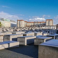
Photo: Stiftung Topographie des Terrors · CC BY-SA 3.0 de · Wikimedia Commons
About
About Topography of Terror
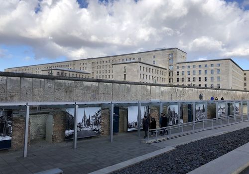
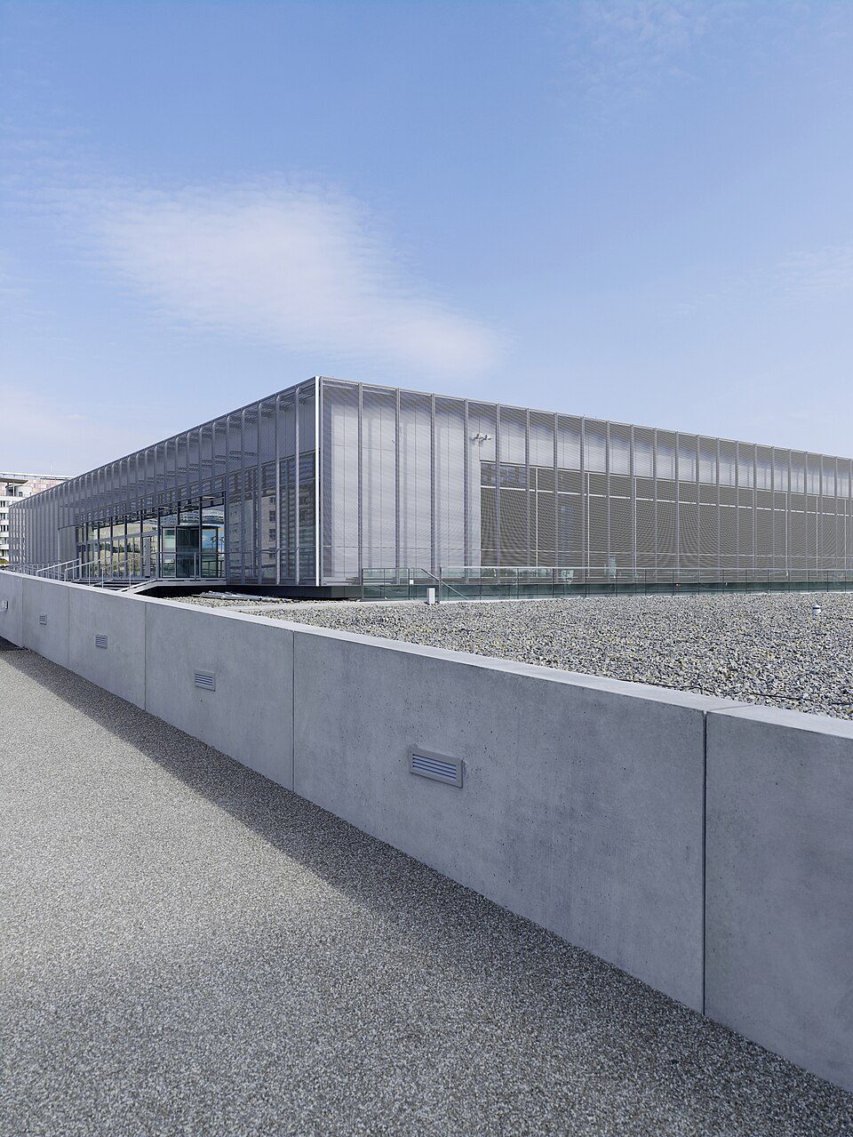
The Topography of Terror (German: Topographie des Terrors) is an outdoor and indoor history museum in Berlin, Germany. It is located on Niederkirchnerstrasse, formerly Prinz-Albrecht-Strasse, on the site of buildings which during the Nazi regime from 1933 to 1945 were the SS Reich Security Main Office, the headquarters of the SiPo, SD, Einsatzgruppen, and Gestapo.
The buildings that housed the Gestapo and SS headquarters were largely destroyed by Allied bombing during early 1945 and the ruins demolished after the war.
The boundary between the American and Soviet zones of occupation in Berlin ran along the Prinz-Albrecht-Strasse, so the street soon became a fortified boundary, and the Berlin Wall ran along the south side of the street, renamed Niederkirchnerstrasse, from 1961 to 1989. The wall here was never demolished.
The section adjacent to the Topography of Terror site is the longest extant segment of the outer wall, as the longer East Side Gallery section in Friedrichshain was part of the inner wall, not visible from West Berlin. The first exhibitions of the site took place in 1987, as part of Berlin's 750th anniversary.
The cellar of the Gestapo headquarters, where many political prisoners were tortured and executed, was found and excavated.
Text from Wikipedia, available under CC BY-SA 4.0.
Photos: Another Believer (CC BY-SA 4.0) · Hanay (CC BY-SA 3.0) · Another Believer (CC BY-SA 4.0) · edwin.11 (CC BY 2.0) · Adam Carr (data on original photo from 1945 unknown) / Adam Carr at English Wiki (Public domain), Wikimedia Commons.
Good to know
- Built
- 2010
- Official website
- topographie.de
Tours and experiences
Things to do at Topography of Terror
-
 on WeGoTrip
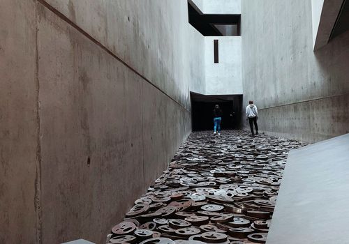
History & Heritage Berlin: Jewish Museum The Opposite of Now Exhibition Ticket & City Highlights Audio Tour
Book on WeGoTripfrom€14.50
on WeGoTrip
History & Heritage Berlin: Jewish Museum The Opposite of Now Exhibition Ticket & City Highlights Audio Tour
Book on WeGoTripfrom€14.50
-
 on WeGoTrip
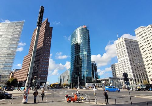
Sightseeing Tickets Berlin: Self-Guided Audio Walk Through a Divided City
Book on WeGoTripfrom€10
on WeGoTrip
Sightseeing Tickets Berlin: Self-Guided Audio Walk Through a Divided City
Book on WeGoTripfrom€10
-
 on WeGoTrip
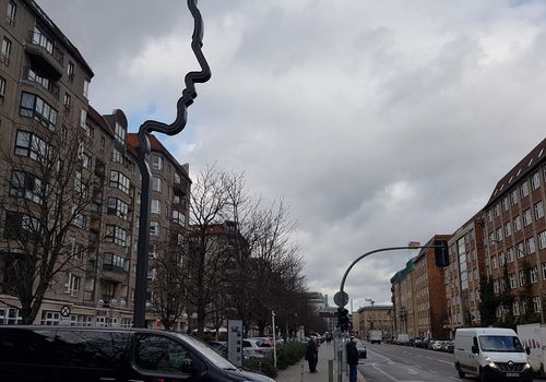
Sightseeing Tickets Berlin: Self-Guided Audio Walk Through the City’s Dark History
Book on WeGoTripfrom€10
on WeGoTrip
Sightseeing Tickets Berlin: Self-Guided Audio Walk Through the City’s Dark History
Book on WeGoTripfrom€10
-
 on WeGoTrip
Sightseeing Tickets Berlin: Self-Guided Audio Walk Through a City of Memory
Book on WeGoTripfrom€10
on WeGoTrip
Sightseeing Tickets Berlin: Self-Guided Audio Walk Through a City of Memory
Book on WeGoTripfrom€10
Sold and delivered by WeGoTrip. You book on their site at their price; Viaqui may earn a commission, at no extra cost to you.
In Berlin
More to see here


Topography of Terror
1 / 6